Crampton’s Gap Historic District
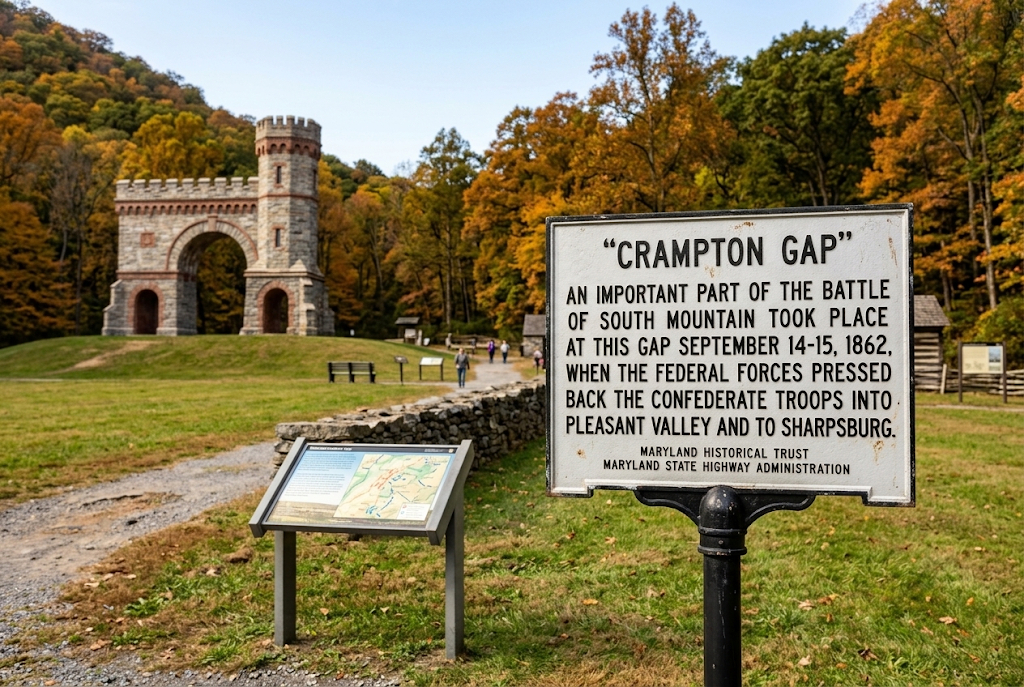
The Crampton’s Gap Historic District is a nationally recognized historic landscape spanning 3,494 acres across Frederick and Washington Counties, Maryland. Listed on the National Register of Historic Places on January 12, 2011, the district encompasses the battlefield, road networks, structures, and surrounding agricultural terrain associated with the Civil War Battle of South Mountain on September 14, 1862.
Historical Significance & Military Context
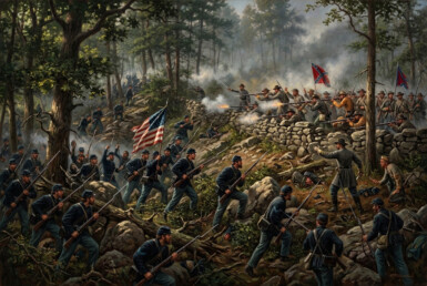
The district is eligible under National Register Criterion A in military history as the southern theater of the Battle of South Mountain, fought three days prior to the Battle of Antietam. Major General William B. Franklin led the Union VI Corps up the eastern slopes of South Mountain via Burkittsville to assault Confederate troops defending the mountain pass at Crampton’s Gap. The successful Union breakthrough forced a Confederate retreat into the Pleasant Valley. Following the engagement, surrounding farmsteads, residences, and churches across the gap and village were commandeered as field hospitals.
District Boundaries & Topography
The district stretches from the valley floor outside Burkittsville up the eastern incline to the mountain crest, extending west past the ridge into Washington County. Key visual and geography features include:
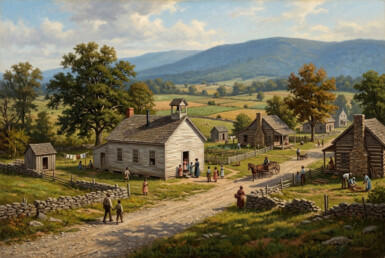
- Terrain: Steep, heavily wooded mountain slopes on the west giving way to rolling agricultural fields and piedmont terrain to the east.
- Historic Road Networks: Key access routes used during troop movements—including Gapland Road, Mountain Church Road, Arnoldtown Road, and Burkittsville Road (MD Route 17)—retain their historic 19th-century alignments.
- Defensive Features: Numerous stacked stone field walls used by soldier regiments for cover remain standing in original alignments across fields and woodlots.
Architectural Character & Resources
The district includes 230 total resources, featuring 48 contributing historic elements that retain high integrity of setting, location, feeling, and association with the 1862 battle.
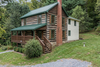
- Pre-War Domestic Architecture: Characterized primarily by mid-19th-century log structures (often protected under later siding), small two-story stone dwellings, and brick farmhouses.
- Agricultural Structures: Reflects rural subsistence and small-scale farming, including bank barns, summer kitchens, springhouses, and corn cribs.
- Key Landmarks: Includes Gathland State Park at the mountain pass, the War Correspondents Memorial Arch, and headquarters sites such as the Martin Shafer Farm.
Preservation & Regulatory Status
While the district is listed on the National Register of Historic Places to honor and document its national military heritage, inclusion within the district boundary serves primarily as a historic designation. Private properties located within the district boundaries that lack specific local preservation easements retain their private usage rights without mandatory municipal or county historic architectural restrictions.